
Blame
|
1 | # Highway 25 |
||||||
| 2 | ||||||||
|
3 | Highway 25 is a multimodal, limited access highway connecting [[Brynhild|Regions/Brynhild]] and [[Arioyund|Regions/Arioyund]], and the only major roadway between the [[regions|Regions]]. It largely consists of bridges and tunnels, with very little of it at grade. Up to -10'000 Z (North), it is maintained by the [[Arioyund Department of Transportation|Agencies/Arioyund Department of Transportation]], and beyond that by the [[Brynhild Department of Transportation|Agencies/Brynhild Department of Public Works]]. It has a single lane protected Ice Express, and a two-block portion shared by a rail line and pedestrian traffic. Its single-elevation design allows all users to enjoy the beautiful views presented from its elevated segments, and makes boat travel simple. |
||||||
| 4 | ||||||||
| 5 | 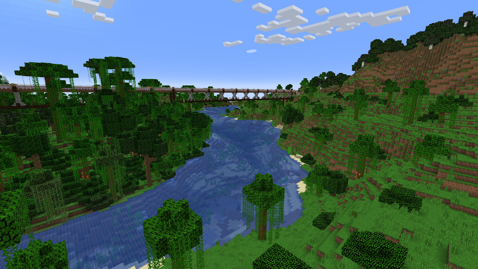 |
|||||||
| 6 | _A bridge carrying Highway 25 over a jungle between Exit 52 in Brynhild and its interchange with Highway 54_ |
|||||||
| 7 | ||||||||
| 8 | ||||||||
| 9 | ### Route |
|||||||
| 10 | Highway 25's current Southern Terminus is with [[Highway 5|Transit/Routes/Highway 5]] in Arioyund. From there, it travels North. |
|||||||
| 11 | ||||||||
|
12 | >| # Exit 33 |
||||||
| 13 | >| Exit 33 provides local access VIA water elevator. At the base, there is a small farm. |
|||||||
| 14 | >| 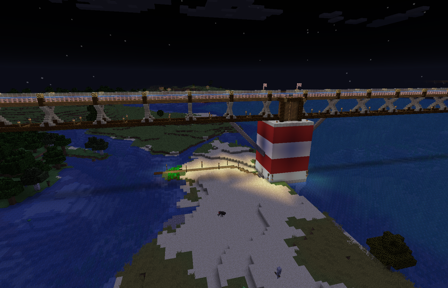 |
|||||||
| 15 | >| _Exit 33, 2025 April 11th_ |
|||||||
| 16 | ||||||||
| 17 | >| # Exit 116 |
|||||||
| 18 | >| Exit 116 boasts ADoT's first Rest Area. There is a small, two-bed sleeping area as well as a garden. |
|||||||
| 19 | >| |
|||||||
| 20 | >| 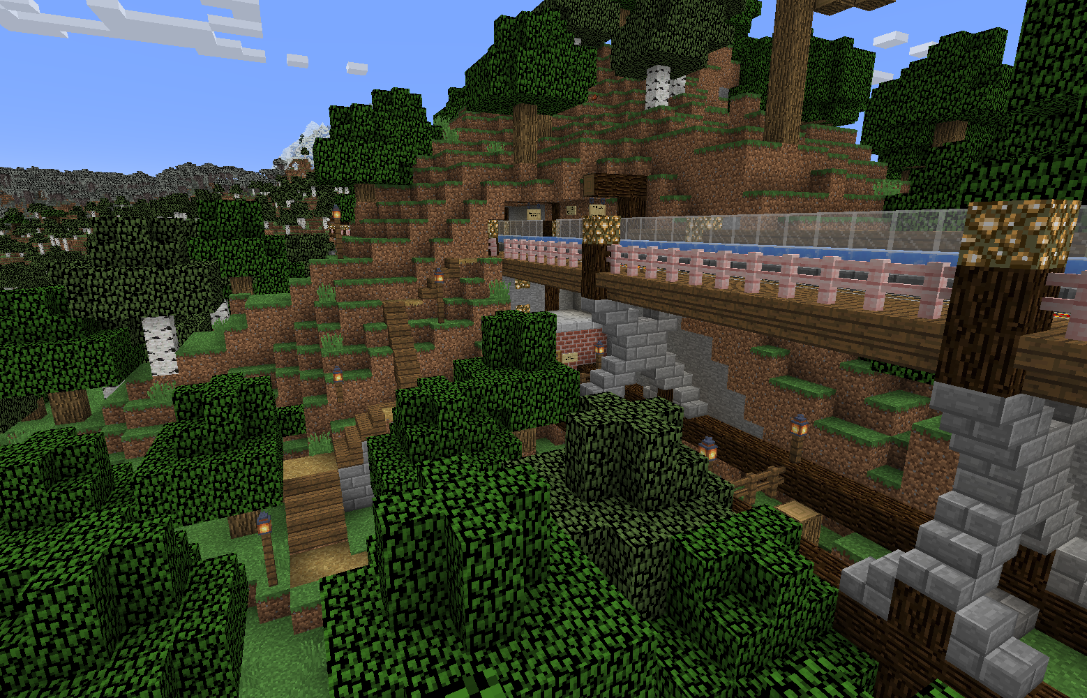 |
|||||||
| 21 | >| _Exit 116 on 2025 April 11th_ |
|||||||
| 22 | ||||||||
| 23 | >| # Exit 145 |
|||||||
| 24 | >| Exit 145 provides access to the local river, as well as a pretty stunning cave system through a series of stairs and ladders. |
|||||||
| 25 | >| |
|||||||
| 26 | >| 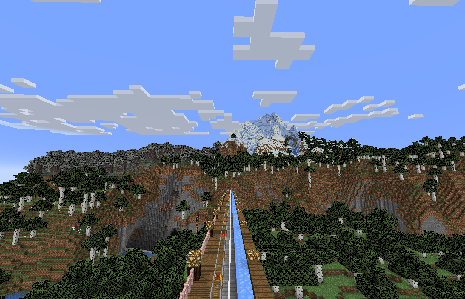 |
|||||||
| 27 | >| |
|||||||
| 28 | >| 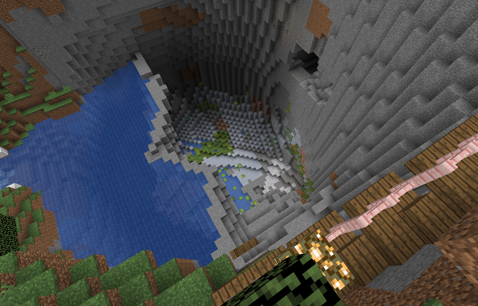 |
|||||||
| 29 | >| _Exit 145 on 2025 April 11th_ |
|||||||
| 30 | ||||||||
| 31 | At this point, Highway 25 enters a 258 meter tunnel. For the duration of this tunnel, the minecart track shifts to the edge to be against the tunnel wall. |
|||||||
| 32 | >| # Exit 175 |
|||||||
| 33 | >| Exit 175 provides local access by way of a short, 1 block wide staircase. Services include a rest area, garden, minecarts, and boats. |
|||||||
| 34 | >| Future plans exist to connect this exit to N 135th Street by way of a path to the [[Jessie O' Felzland Memorial Bridge|Transit/Bridges/Jessie O' Felzland Memorial Bridge]]. |
|||||||
| 35 | >| |
|||||||
| 36 | >| 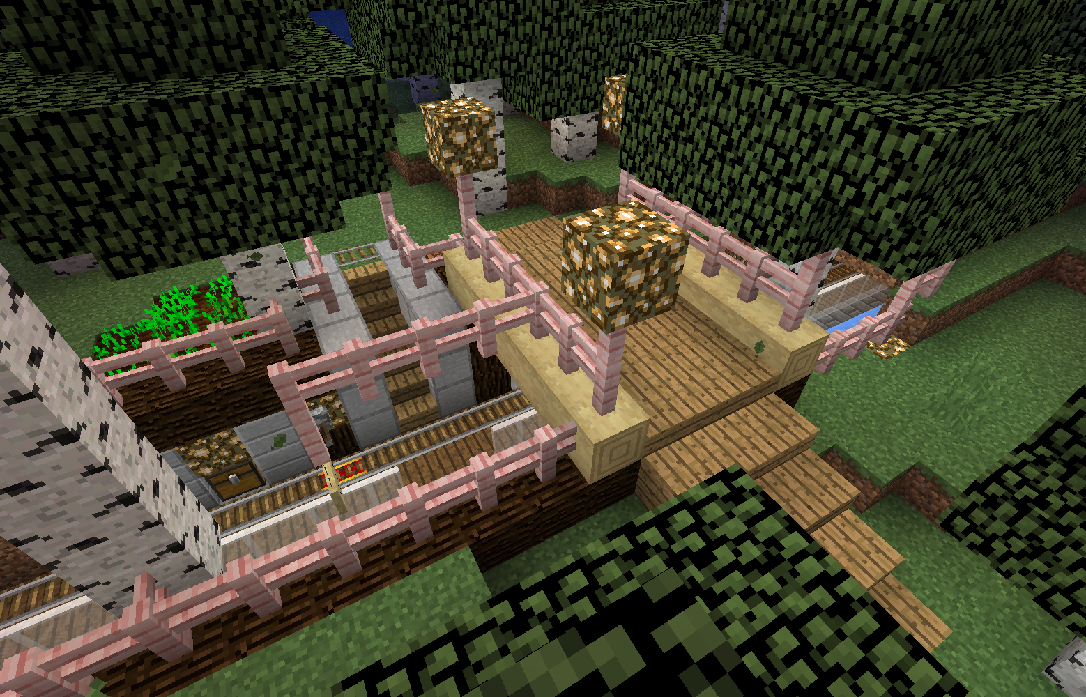 |
|||||||
| 37 | >| _Exit 175 on 2025 April 11th_ |
|||||||
|
38 | |||||||
|
39 | >| # Exit 181 |
||||||
| 40 | >| Exit 181 provides beach access. There is no Ice Express exit here. |
|||||||
| 41 | >| |
|||||||
| 42 | >| 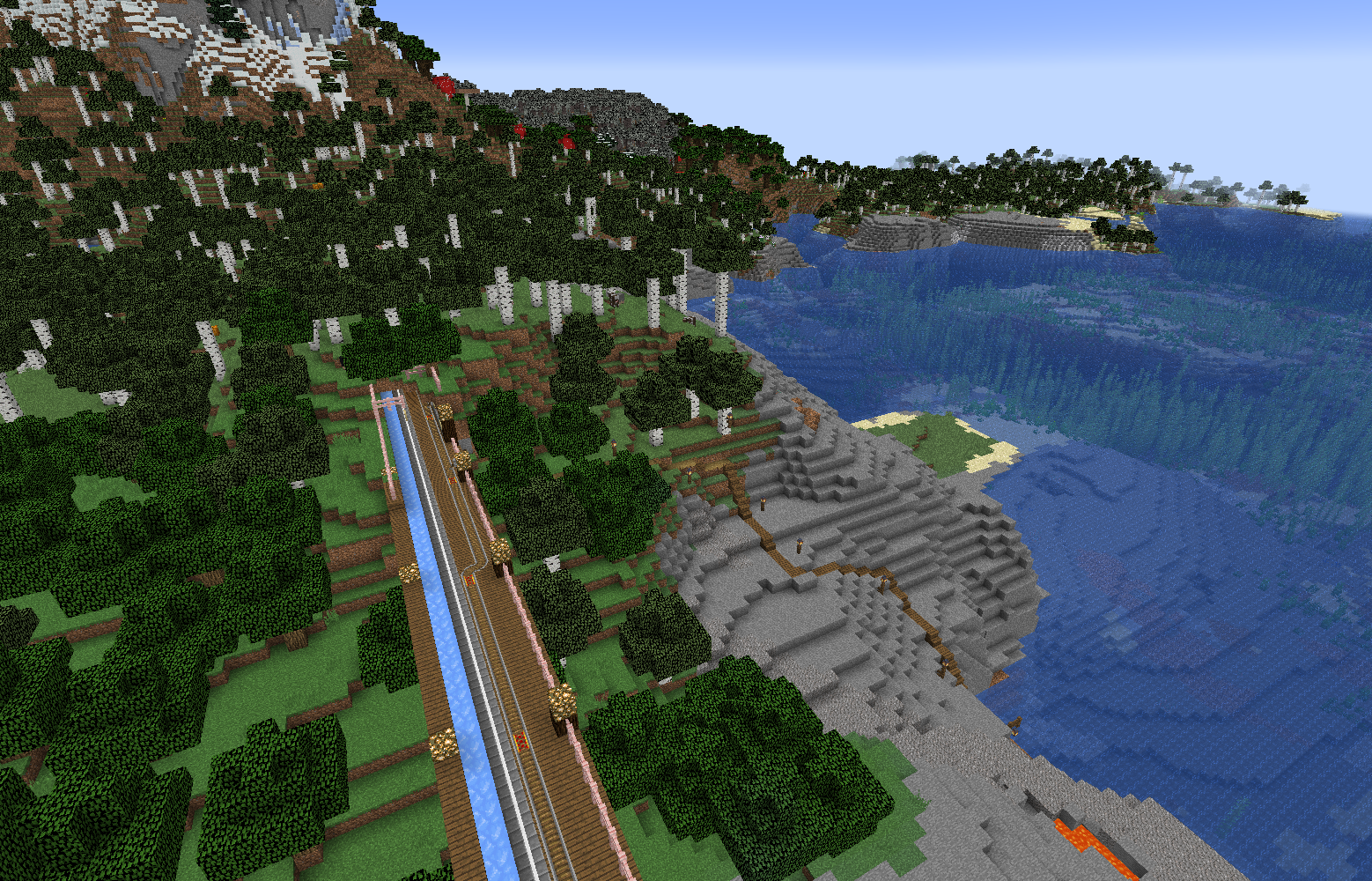 |
|||||||
| 43 | >| _Exit 181 on 2025 April 11th_ |
|||||||
| 44 | ||||||||
| 45 | >| # Exit 583 |
|||||||
| 46 | >| Exit 583 provides access to a nearby Woodland Mansion by way of a boat dock and a lit path, as well as access to a lookout. |
|||||||
| 47 | >| |
|||||||
| 48 | >|  |
|||||||
| 49 | >| _Exit 583, the boat dock, and path to the woodland mansion on 2025 April 11th_ |
|||||||
| 50 | >| |
|||||||
| 51 | >| 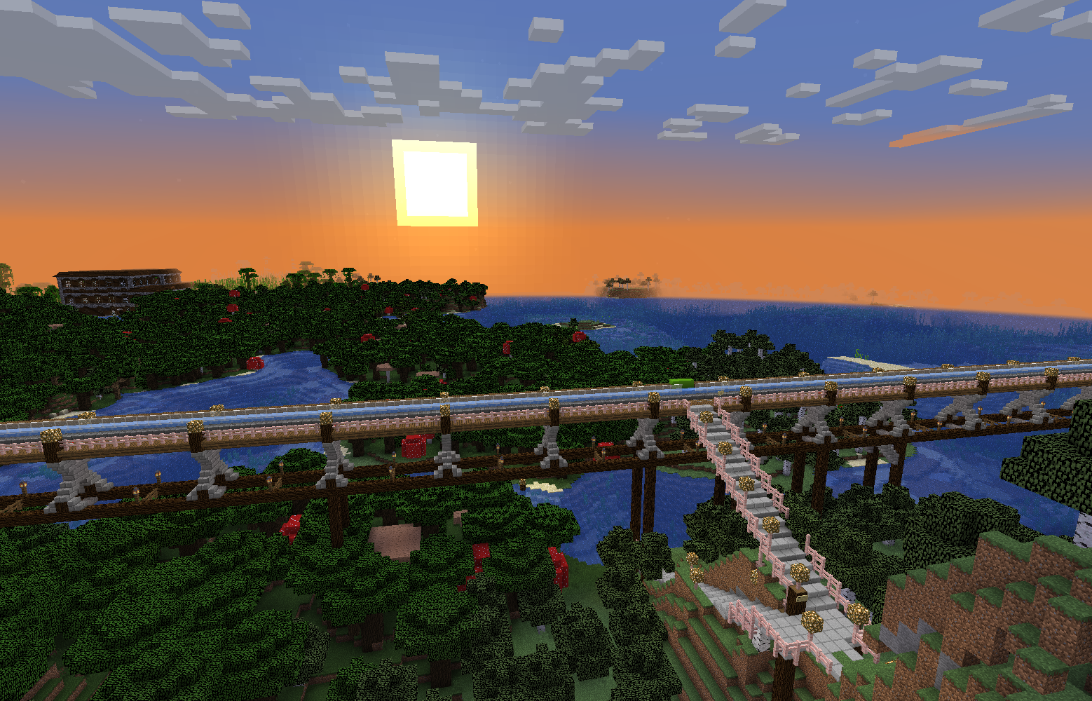 |
|||||||
| 52 | >| _The view from the lookout at sunrise. Taken 2025 April 11th_ |
|||||||
| 53 | ||||||||
|
54 | >| # Exit 822 |
||||||
| 55 | >| Exit 822 provides access to a staircase going up the mountainside |
|||||||
| 56 | >| |
|||||||
| 57 | >| 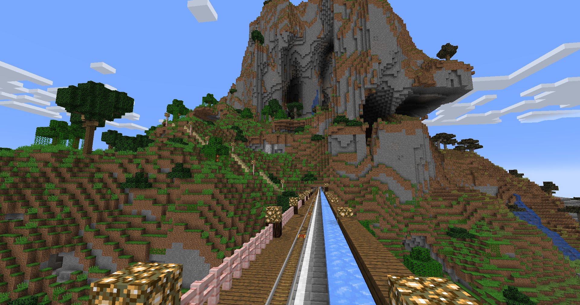 |
|||||||
| 58 | >| _Exit 822, 2025 April 11th_ |
|||||||
| 59 | ||||||||
| 60 | >| # Exit 837 |
|||||||
| 61 | >| Exit 837 provides access to a staircase to a mountain plain where several holes to the highway below are fenced off |
|||||||
| 62 | >| |
|||||||
| 63 | >| 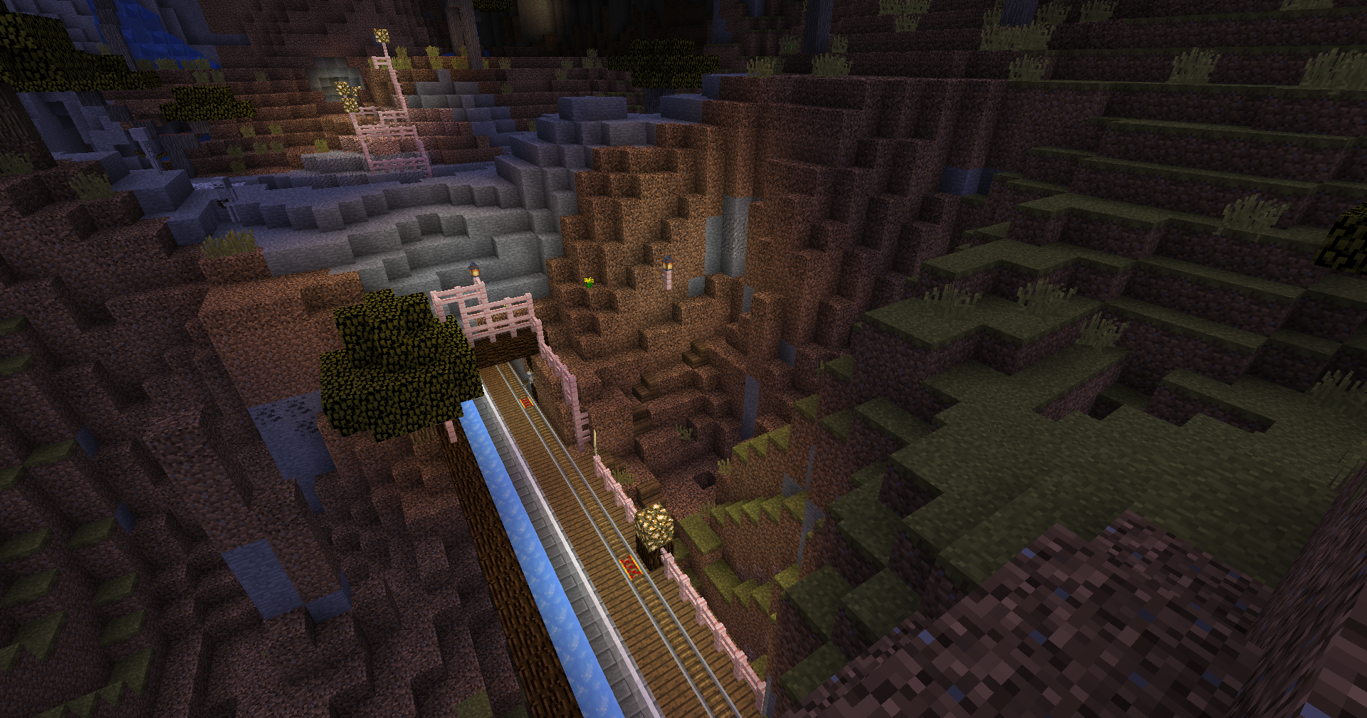 |
|||||||
| 64 | >| _Exit 837, 2025 April 11th_ |
|||||||
| 65 | ||||||||
| 66 | >| # Exit 840 |
|||||||
| 67 | >| Exit 840 provides access to a staircase going up the mountainside, as well as beach access. There is also a small garden on the way to the beach. |
|||||||
| 68 | >| |
|||||||
| 69 | >| 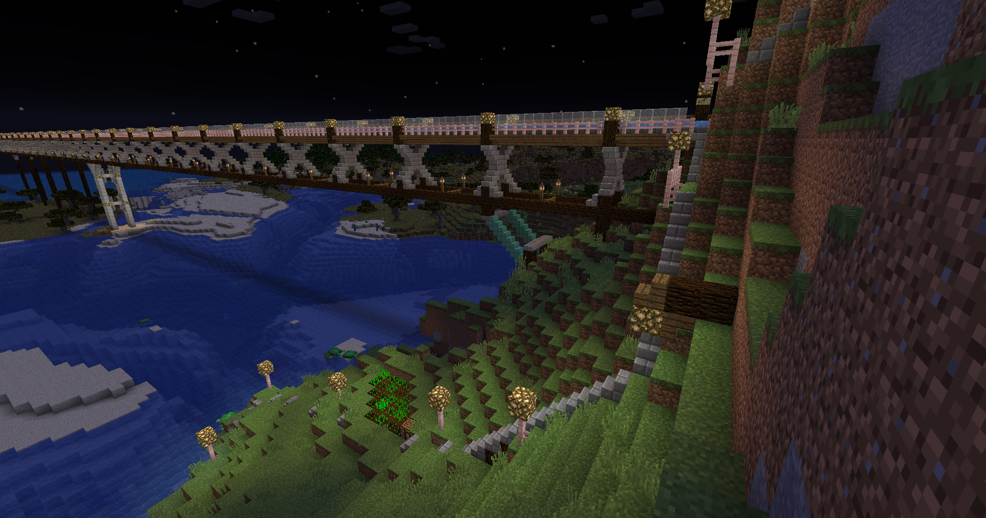 |
|||||||
| 70 | >| _Exit 840, 2025 April 11th_ |
|||||||
| 71 | ||||||||
| 72 | >| # Exit 920 |
|||||||
| 73 | >| Exit 920 provides access to a staircase going up the mountainside |
|||||||
| 74 | >| |
|||||||
| 75 | >| 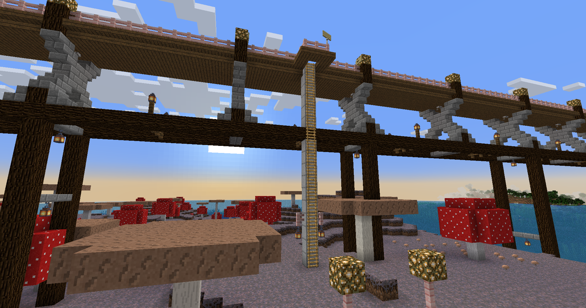 |
|||||||
| 76 | >| _Exit 920, 2025 April 11th_ |
|||||||
| 77 | ||||||||
| 78 | >| # Arioyund/Brynhild Border |
|||||||
| 79 | >| The [[Arioyund|Regions/Arioyund]]/[[Brynhild|Regions/Brynhild]] |
|||||||
| 80 | >| |
|||||||
| 81 | >| 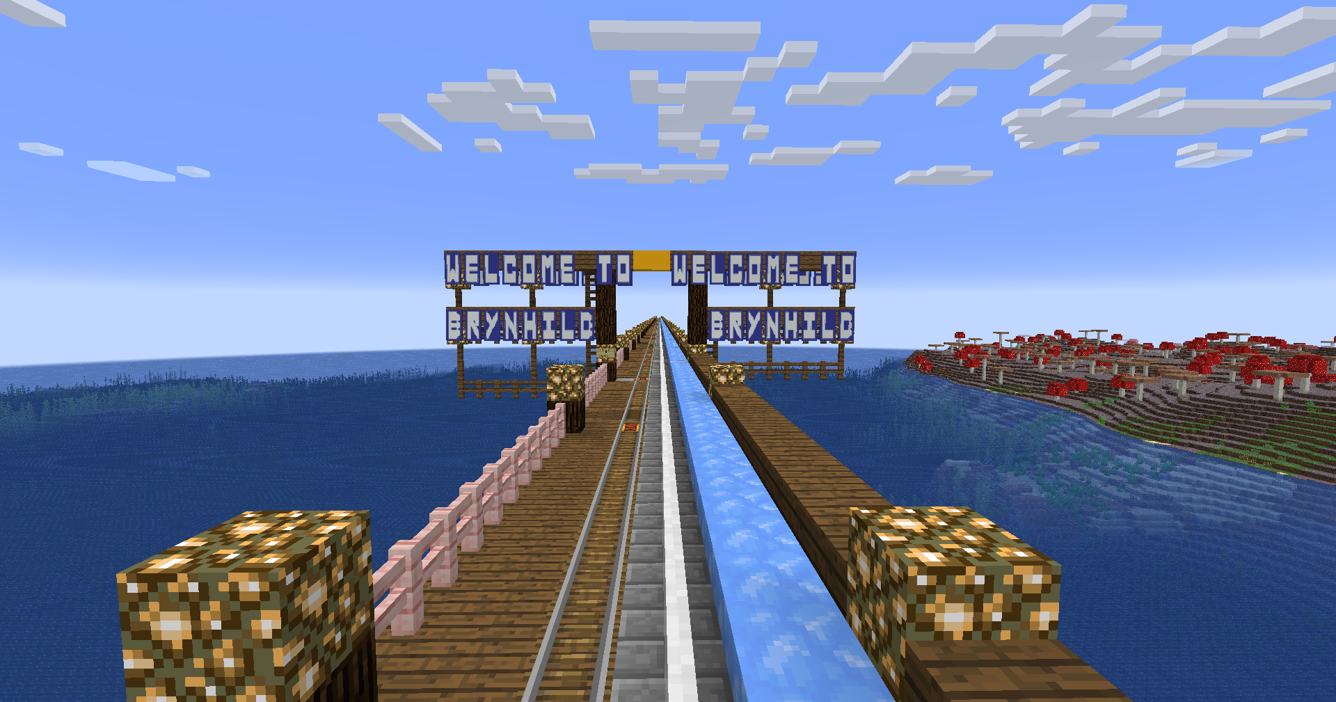 |
|||||||
| 82 | >| 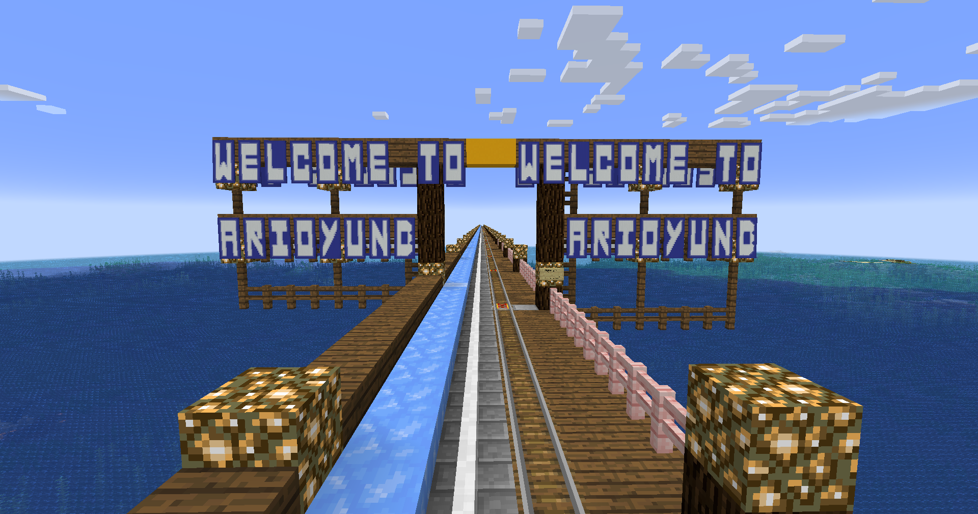 |
|||||||
| 83 | >| _2025 April 11th_ |
|||||||
| 84 | ||||||||
| 85 | >| # Exit 277 |
|||||||
| 86 | >| Exit 277 provides access to the Valley Village Reservation. Services include the village farms and buildings, which are available for use by visitors passing through. |
|||||||
| 87 | >| |
|||||||
| 88 | >| 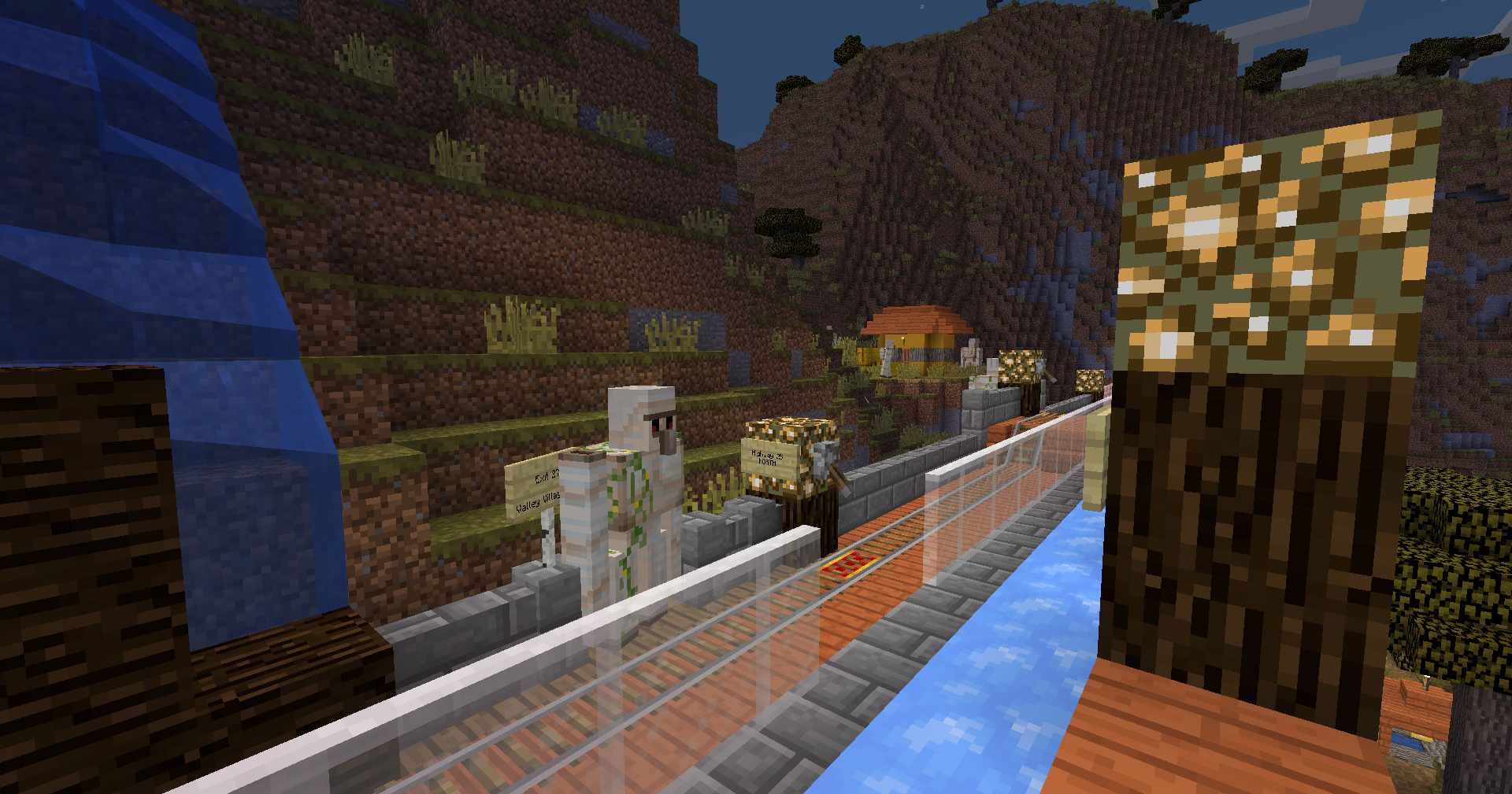 |
|||||||
| 89 | >| _Exit 277, 2025 April 11th_ |
|||||||
| 90 | ||||||||
| 91 | >| # Exit 307 |
|||||||
| 92 | >| Exit 307 provides access to a nearby pillager outpost. |
|||||||
| 93 | >| |
|||||||
| 94 | >| 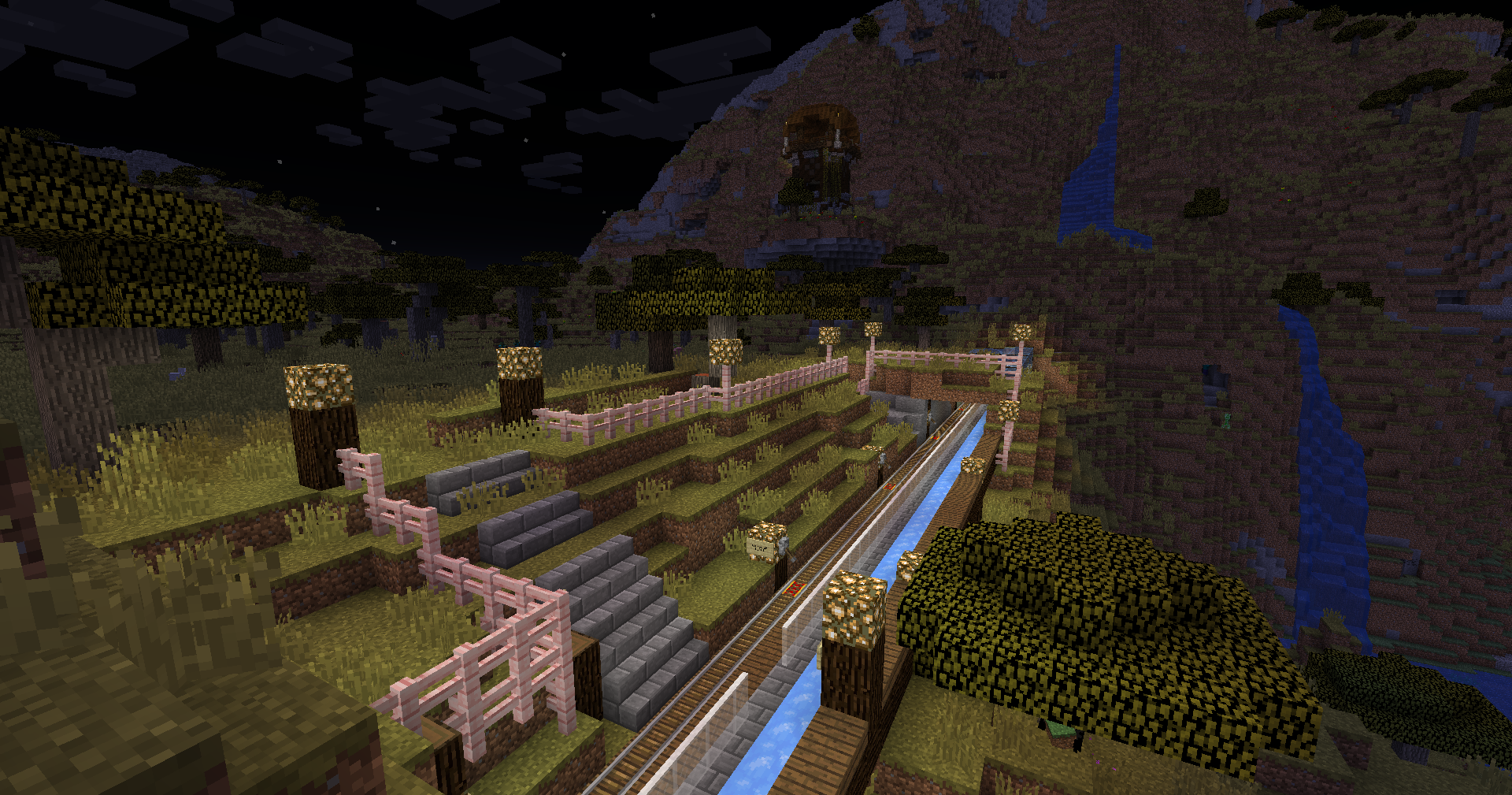 |
|||||||
| 95 | >| _Exit 307, 2025 April 11th_ |
|||||||
| 96 | ||||||||
| 97 | >| # Exit 345 |
|||||||
| 98 | >| Exit 345 provides access to a nearby village. |
|||||||
| 99 | >| |
|||||||
| 100 | >| 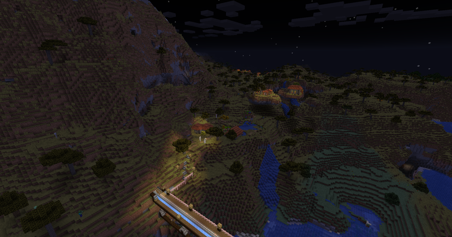 |
|||||||
| 101 | >| _Exit 345, 2025 April 11th_ |
|||||||
|
102 | |||||||
|
103 | >| # Highway 325 |
||||||
| 104 | >| Highway 325 is a spur of Highway 25 that branches off at Z = -13662. Plans are for it to travel east to a stronghold. |
|||||||
| 105 | >| |
|||||||
| 106 | >| 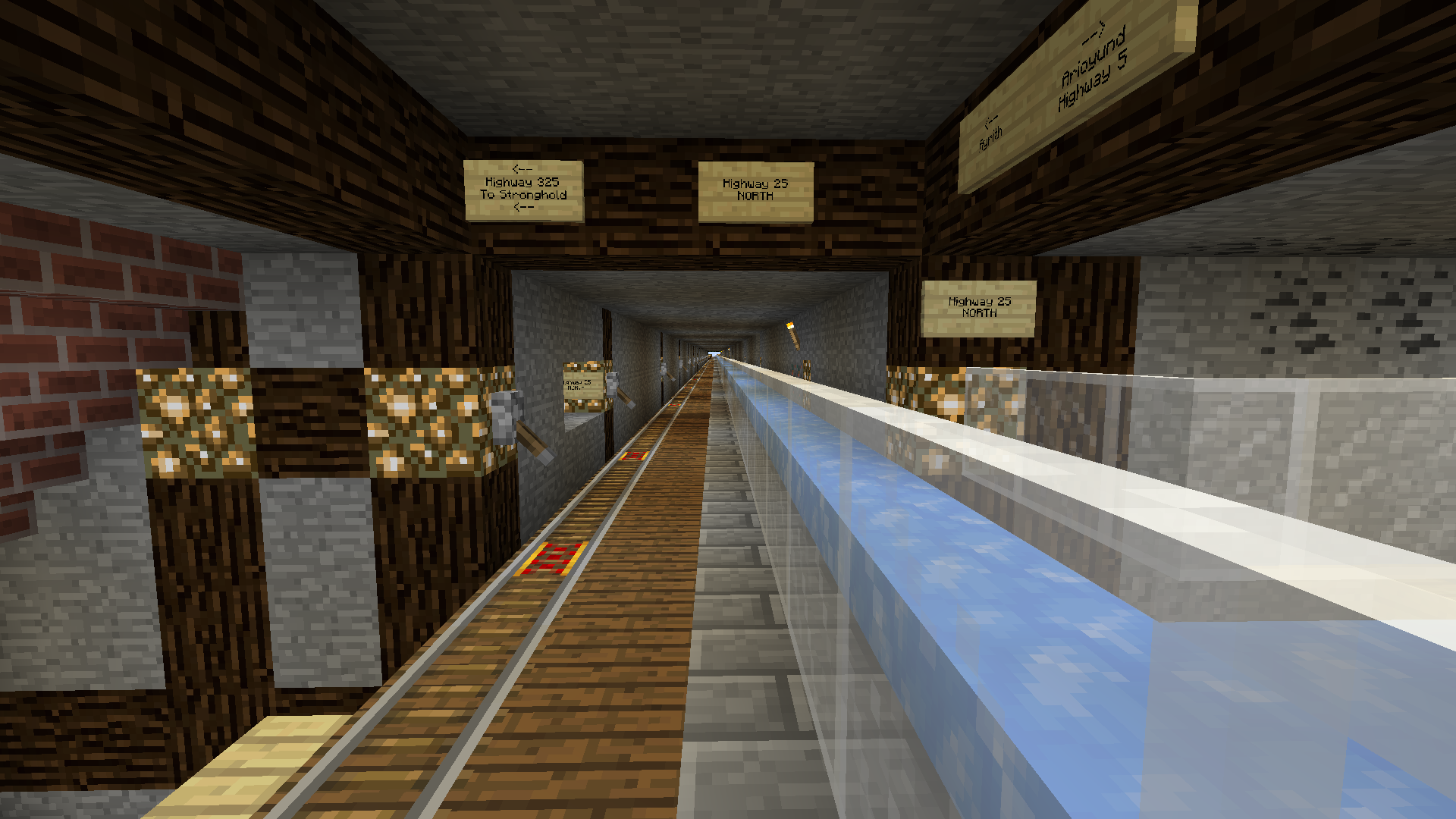 |
|||||||
| 107 | >| _Junction of Highway 325 and Highway 25 on 2025 April 15th_ |
|||||||
| 108 | ||||||||
| 109 | >| # Exit 520 |
|||||||
| 110 | >| Exit 520 provides local access. There are no services. |
|||||||
| 111 | >| |
|||||||
| 112 | >| 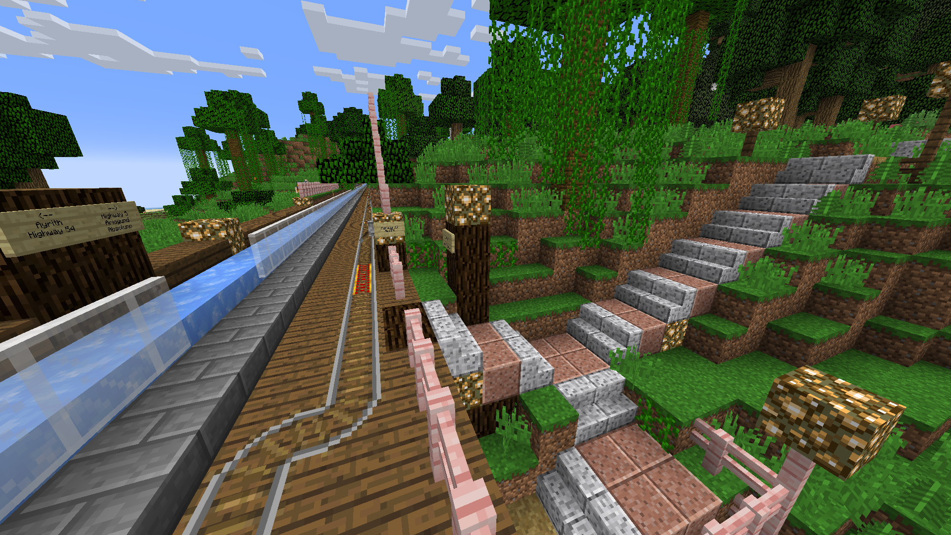 |
|||||||
| 113 | ||||||||
| 114 | >| # Ayrith Interchange (Junction 25/54) |
|||||||
| 115 | >| The Ayrith Interchange is a tower where Highway 25 and [[Highway 54|Transit/Routes/Highway 54]] meet. Rail/Pedestrians and the Ice Express are grade-separated at the interchange, and all rail lines have terminuses at the interchange, requiring manual switching of lines. |
|||||||
| 116 | >| |
|||||||
| 117 | >| 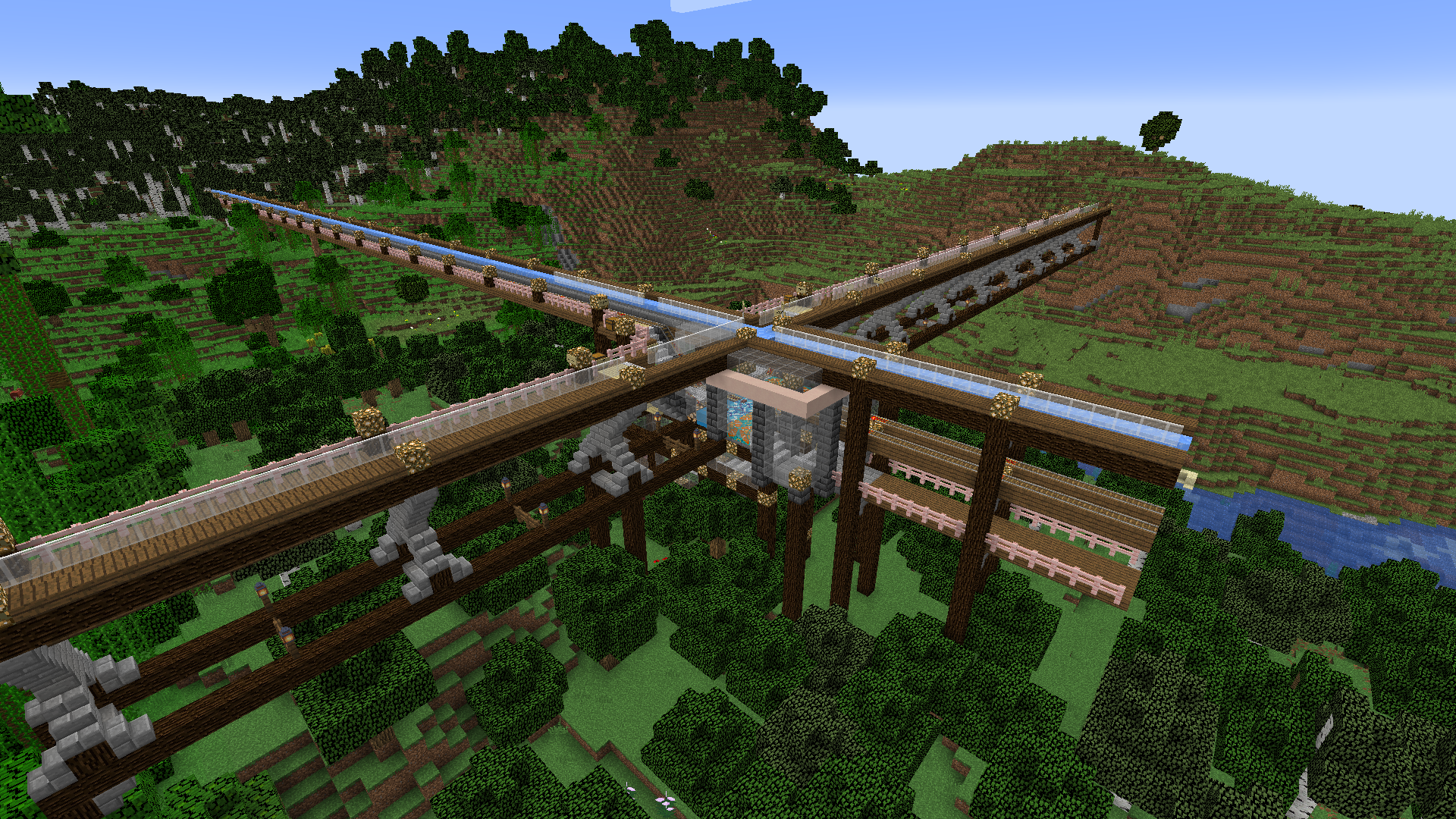 |
|||||||
| 118 | >| 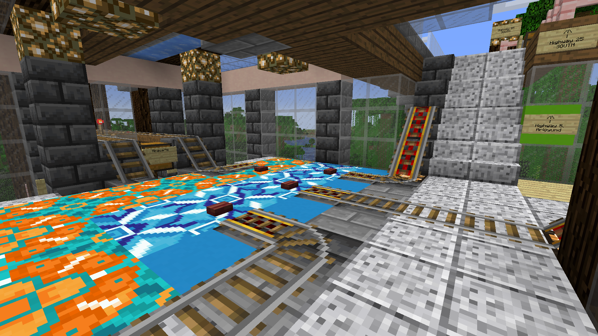 |
|||||||
| 119 | >| _Pictures of the Ayrith Interchange, taken 2025 April 16th_ |
|||||||
|
120 | |||||||
| 121 | ||||||||
|
122 | There are plans to expand it north indefinitely, but currently it dead ends not far north of Highway 54. Future plans include grade-separated rail, pedestrian, and ice express paths, as well as multi-track rail to support the planned industrial area in the savannah further north. |
||||||